 OpenAI - ChatGPT, Sora
 Google - Gemini, Nano Banana
 Anthropic - Claude
 xAI - Grok
 Deepseek
 Alibaba - Qwen
 ByteDance - Doubao
 All Models
 Enterprise Plans
 AI Application Development
 AI Translator API
 AI SEO/GEO Service
 GEO-Optimized PR Service
 Web Scraping Service
 OpenClaw
 Top AI Tools
 Top AI Robots
 Log in

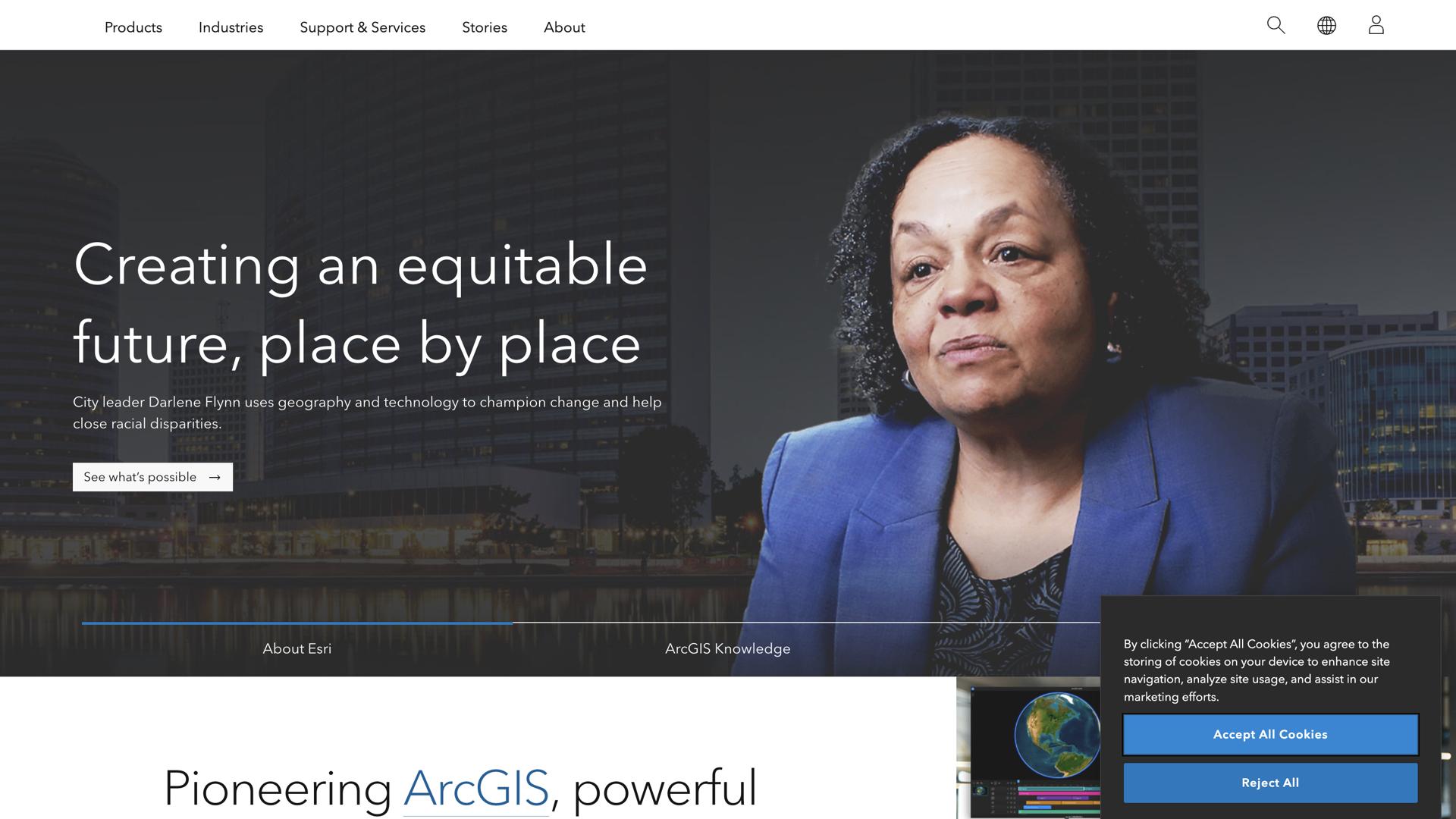

What is Esri?
Esri is a powerful geographic information system (GIS) designed to help users understand, analyze, and visualize complex spatial data. With Esri, you can quickly and easily access comprehensive maps, geospatial models, and data layers to gain deeper insights into your business and understand the landscape of your market.
Esri's mapping application allows users to visualize data in maps, analyze trends, and make informed decisions. It also includes advanced tools for creating and sharing interactive maps and 3D scenes, as well as for managing geospatial data. With Esri, you can easily create visually appealing and informative maps that showcase your data in new ways.
From business planning and urban development to natural resource management and epidemiology, Esri is an invaluable tool for uncovering the story behind your data. With its powerful tools and intuitive user interface, Esri allows you to easily create and share meaningful insights that can help your business succeed.
Use Cases and Features
1. Create interactive maps and 3D scenes to visualize complex spatial data.
2. Analyze trends and gain insights into business and market landscapes.
3. Manage geospatial data to develop informed decisions.
Tool Website Engagement
Last Update: 2 years ago
Disclaimer: Statistics sourced from third-party providers. Accuracy may fluctuate.
Total Monthly Visits: 3M
Bounce Rate: 55%
Visit Duration (avg): 227.62 seconds
Pages Per Visit: 3.35
Country Rank: 840
Global Rank: 22,398
Monthly Traffic
Traffic Sources
Traffic Share By Country
United States: 42.89%
Canada: 4.11%
Colombia: 2.84%
Germany: 2.03%
India: 1.96%