 OpenAI - ChatGPT, Sora
 Google - Gemini, Nano Banana
 Anthropic - Claude
 xAI - Grok
 Deepseek
 Alibaba - Qwen
 ByteDance - Doubao
 All Models
 Enterprise Plans
 AI Application Development
 AI Translator API
 AI SEO/GEO Service
 GEO-Optimized PR Service
 Web Scraping Service
 OpenClaw
 Top AI Tools
 Top AI Robots
 Log in

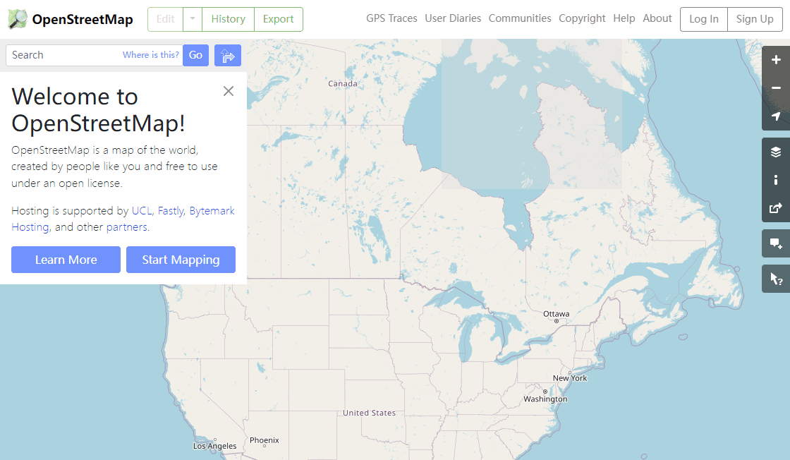

What is OpenStreetMap?
OpenStreetMap is an open-source mapping platform that provides users with a comprehensive, global overview of their surroundings. It offers a range of features, including detailed vector maps, satellite imagery, and 3D terrain data, all of which can be accessed and used for free.
With OpenStreetMap, users can easily explore and navigate anywhere in the world, from the highest peak to the deepest canyon. The platform also provides users with a vast library of user-generated data, including points of interest, public transport routes, and even local business listings.
OpenStreetMap is a great tool for travelers, outdoor enthusiasts, and even professionals who need to access detailed maps quickly and accurately. It is easy to use, reliable, and constantly updated, so you can always trust the data you find.
Use Cases And Features
1. Plan trips: OpenStreetMap provides users with detailed vector maps and satellite imagery to plan their trips effectively and efficiently.
2. Find points of interest: Discover nearby restaurants, attractions, and landmarks in any part of the world with accurate location data.
3. View terrain data: Utilize 3D terrain data to get a better understanding of your surroundings and geographical features.